


Edit in Canva


Free to use
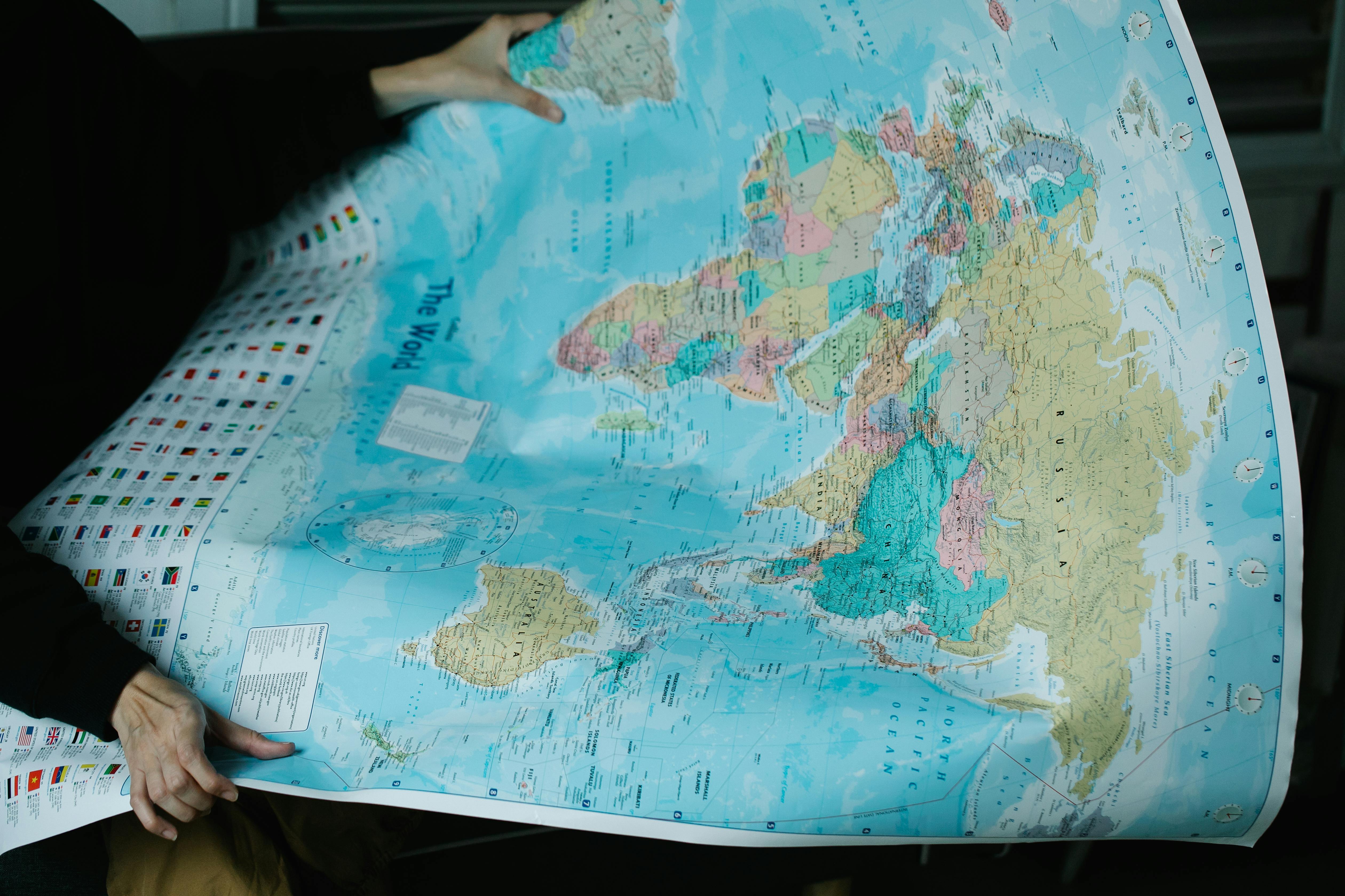
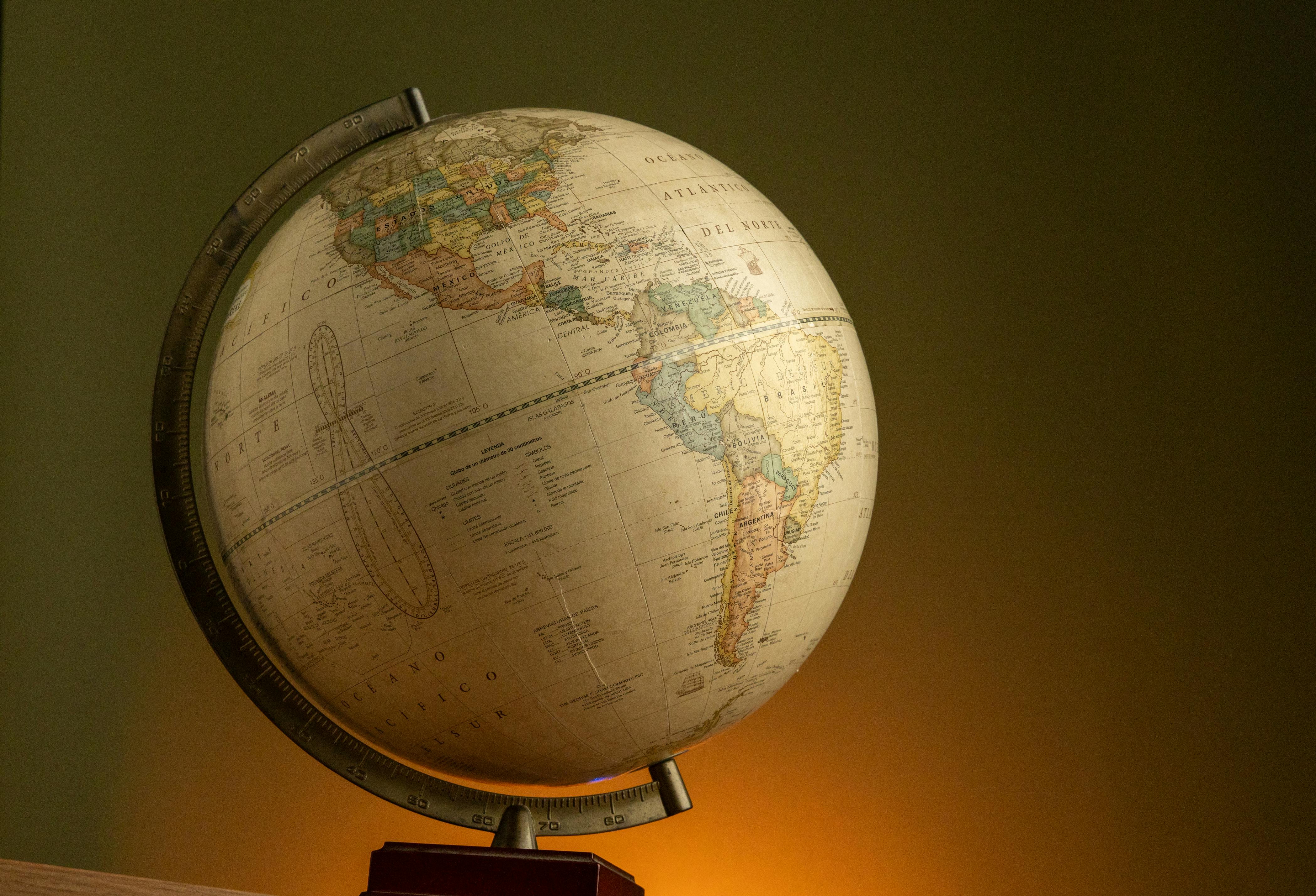
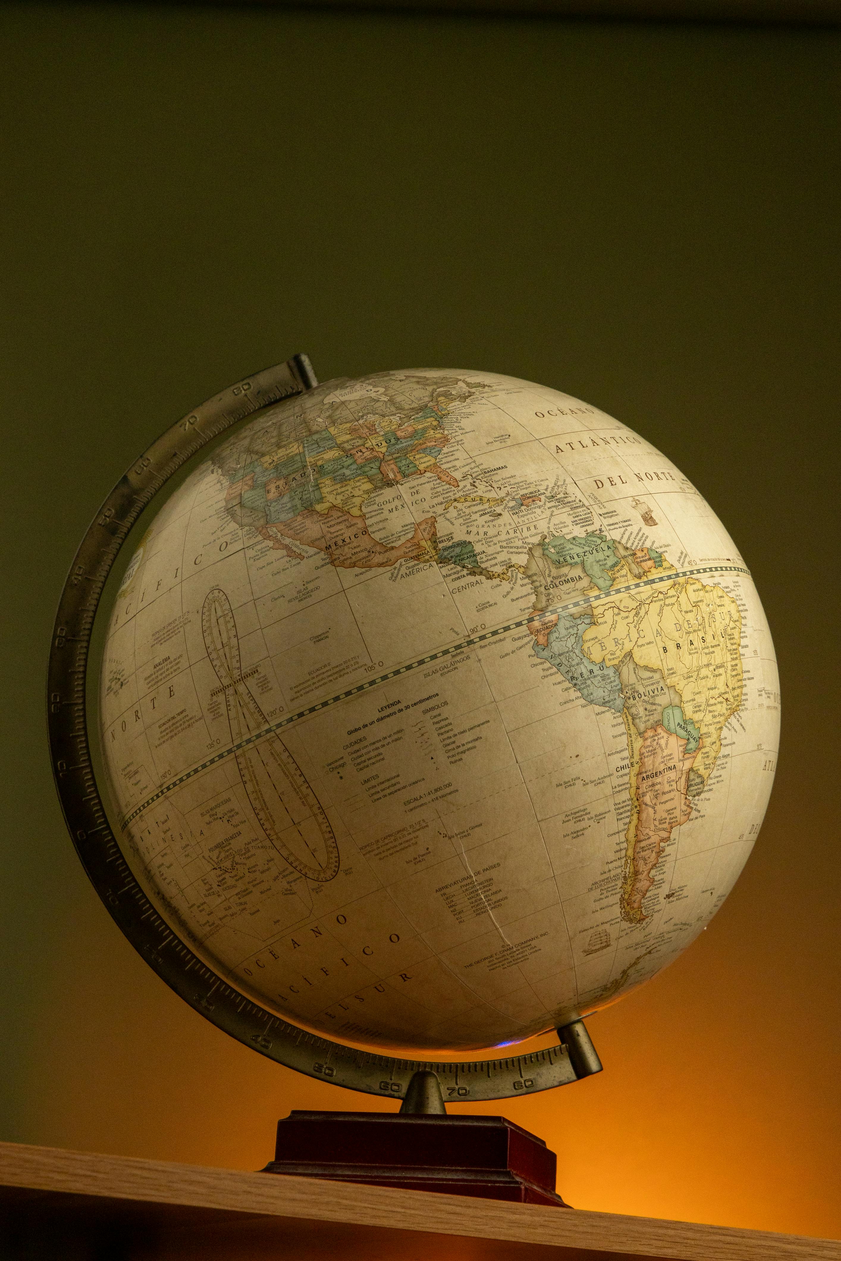
Woman Holding Worlds Political Map
More like this
AtlasBlue PhotosCartographic RepresentationCartographyCartography DetailsColor Coded MapColorful MapContinent MapContinentsCountriesCultural GeographyDirectionEarth MapEducational MapEducational ResourceExplorationGeographyGeopolitical MapGlobalGlobal OverviewHand Holding MapHandheld MapHolding MapLandscape OrientationLearningLocation IdentificationMap ArtMap DesignMap DetailsMap FeaturesMap IllustrationMap LabelsMap LegendMap ReadingMap SymbolsNavigationNavigation ToolOceanPaper MapPlanning TripPolitical MapPrinting MapReference MapSpatial RepresentationStudyTravel PlanningWorld GeographyWorld MapWorld Travel